Municipality of Radomin
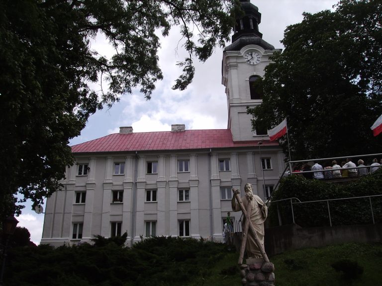
Obory and Szafarnia — a Carmelite sanctuary and the real traces of Chopin
A sanctuary with a Gothic Pietà and the manor where Chopin wrote the “Kuryer Szafarski” — 16 km apart
Read more →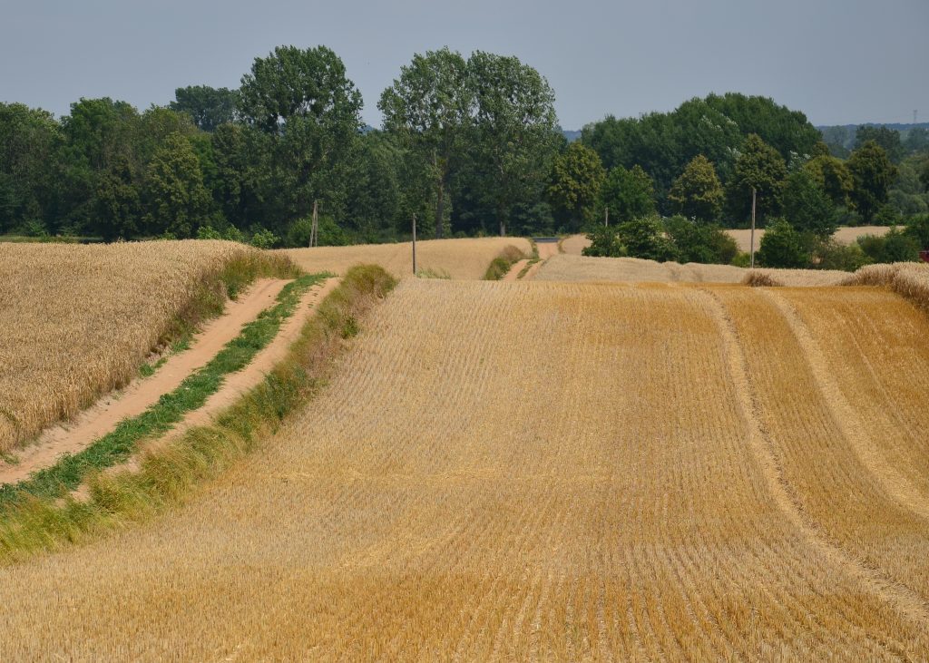
Hills left by the ice sheet — the best example of a drumlin landscape in Poland
As you drive through Zbójno municipality in the Dobrzyń Land, the fields roll in rows of low, elongated hills left behind by the Scandinavian ice sheet. These are drumlins, and the Institute of Nature Conservation of the Polish Academy of Sciences (IOP PAN) calls the drumlin field near Zbójno the best example of a typical drumlin landscape in Poland. Since 1983 it has been protected as the “Drumliny Zbójeńskie” Protected Landscape Area, and a 4-kilometre nature trail runs across it.
Drumlins are hills with an oval outline and a streamlined shape, elongated in the direction in which the glacier moved. Wikipedia describes those around Zbójno as up to 2 km long. Zbójno municipality gives typical dimensions of 150 to 750 m in length, 70 to 150 m in width and 5 to 9 m in height. The hills occur in groups of a few or a dozen, and even 20–30.
According to the IOP PAN geosite record, the field lies in a depression on the Dobrzyń Plateau measuring 17 by 6.5 km. It covers about 1,200 ha at 75–115 m above sea level and is the largest on the plateau. It formed during the last glaciation, the Vistulian. In the northern part, researchers distinguish three levels of drumlin formation. The drumlins differ in structure and origin, and their axes lie at various angles. They have been studied by Liberacki (1961), Olszewski (1995) and Ber (1999, 2001), among others. The article “Geneza form drumlinowych okolic Zbójna” (The origin of drumlin forms around Zbójno), published on the Polish Geological Institute's journals platform, explains that the Zbójno drumlins have a core of fluvioglacial deposits wrapped in boulder clay. They formed when a network of parallel streams flowing off the ice surface was filled in.
The area was established by resolution no. XX/92/83 of the Włocławek Provincial National Council of 15 June 1983. Zbójno municipality gives the date as 16 June. It covers 7,178.82 ha. By far the largest part, 5,932.68 ha, is in Zbójno municipality, with smaller parts in Chrostkowo (1,013.01 ha), Kikół (136.79 ha) and Brzuze (96.34 ha) municipalities.
This is an open landscape: forests cover only 1.6% of the area. That makes the clumps of trees among the fields, the ponds in the hollows between the hills, and the damp copses and thickets all the more important; the municipality lists them as essential elements of this landscape. There is also Lake Zbójno with its aquatic vegetation and reed beds, as well as natural monuments.
The easiest way to see the drumlins up close is to walk the 4-kilometre nature and educational trail in Zbójno (Zbójno municipality, Golub-Dobrzyń County). It crosses the drumlin field and passes a 19th-century palace. It is open to all and free of charge. Allow 1–1.5 hours for the whole route. The terrain is hilly, so in places it can be harder going for people with limited mobility.
Nearby are Obory with its Carmelite sanctuary and, in neighbouring Kikół municipality, the Zboiński palace.
A sanctuary with a Gothic Pietà and the manor where Chopin wrote the “Kuryer Szafarski” — 16 km apart
Read more →